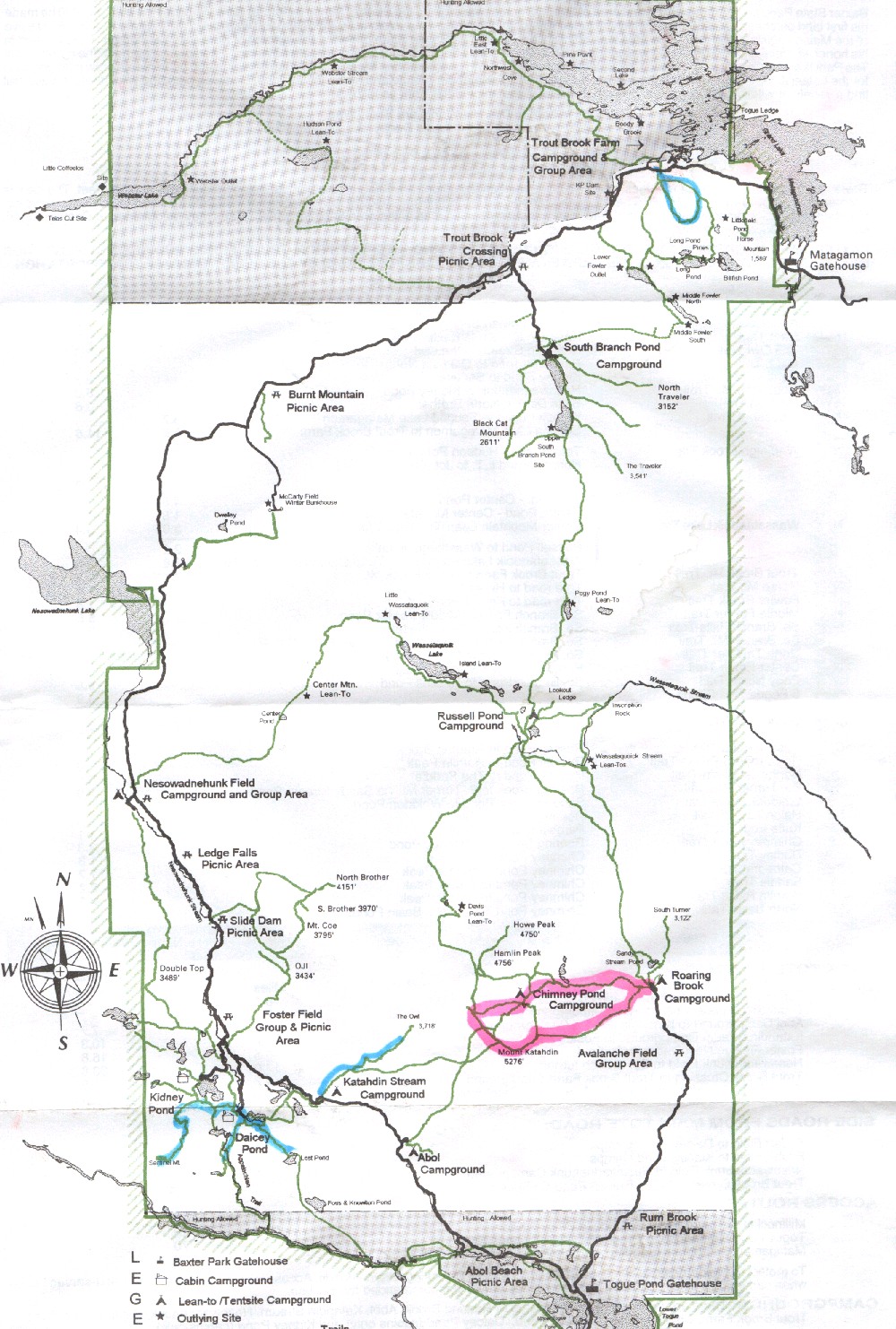
Baxter State Park Hiking Map.
CLOSE THIS WINDOW
Upper blue=Trout Brok Mountain
Red=Knife Edge and Mount Katahdin
...
lower left blue= Sentinel Mtn and Daicey Pond Area ... lower central blue=the Owl
CLOSE WINDOW