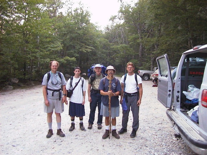
At van ready to start.
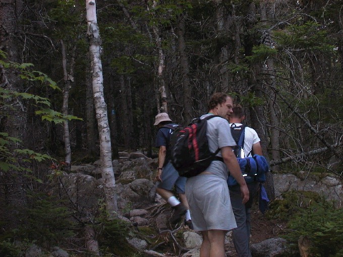
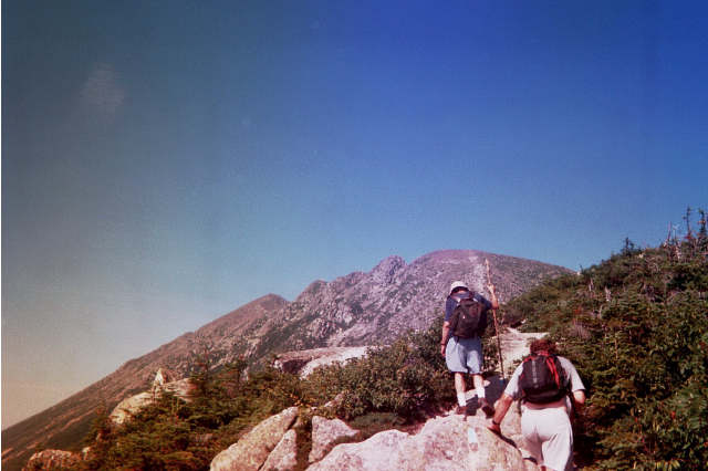
Starting on Helon Taylor Trail
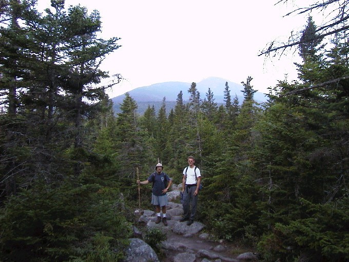
Pamola Peak in distance.
Campground and took the
Helon Taylor Trail 3.2 miles to
Pamola Peak which is the
southeast end of the Knife Edge.
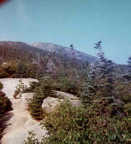
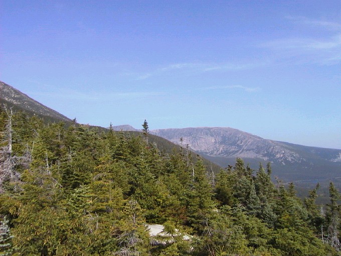
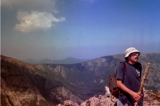
View on way up
View on way up.

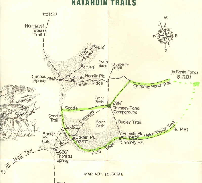
Trail Map-route outlined in green
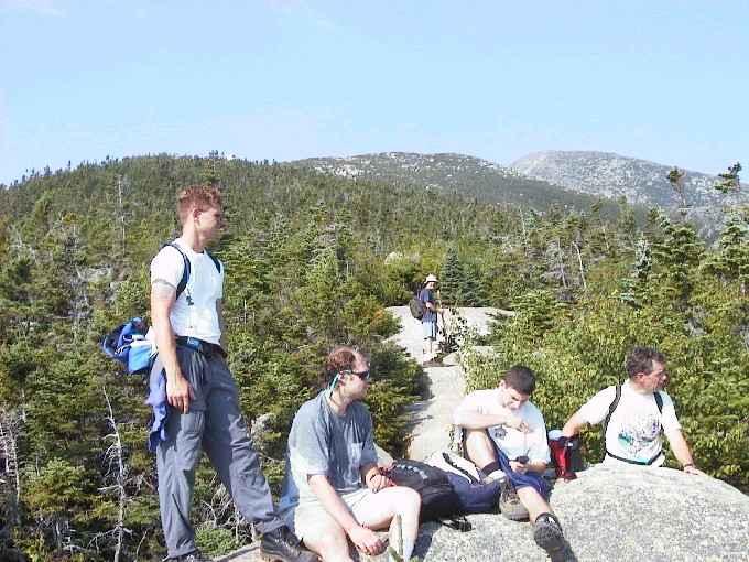
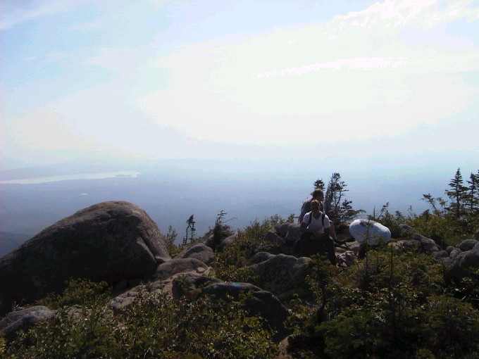
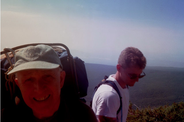
Rest stop.
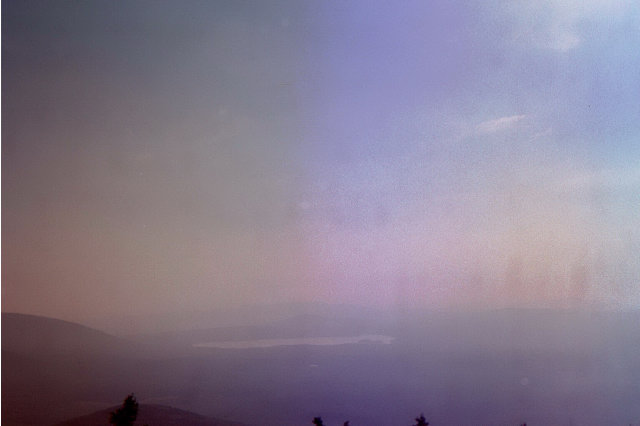
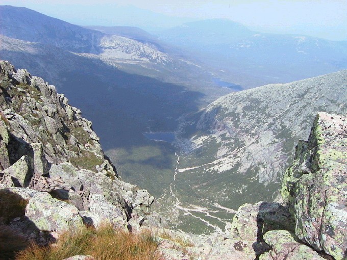
View from rest stop.
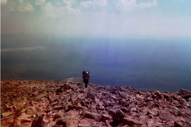
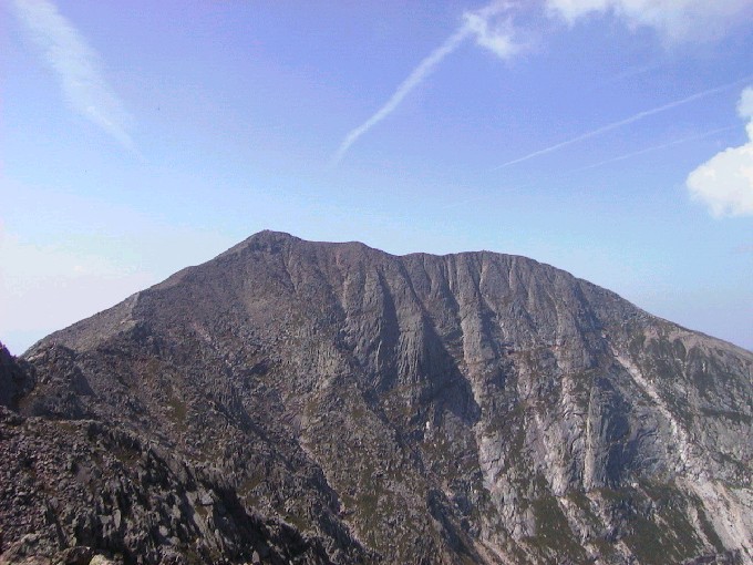
view of cirque and Baxter Peak.
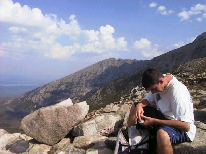
Lunch Stop
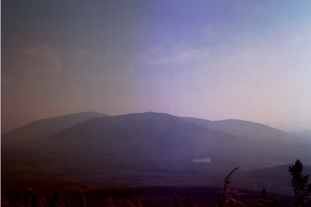
Pamola Peak in distance
Pamola Peak in distance
Pamola Peak in distance
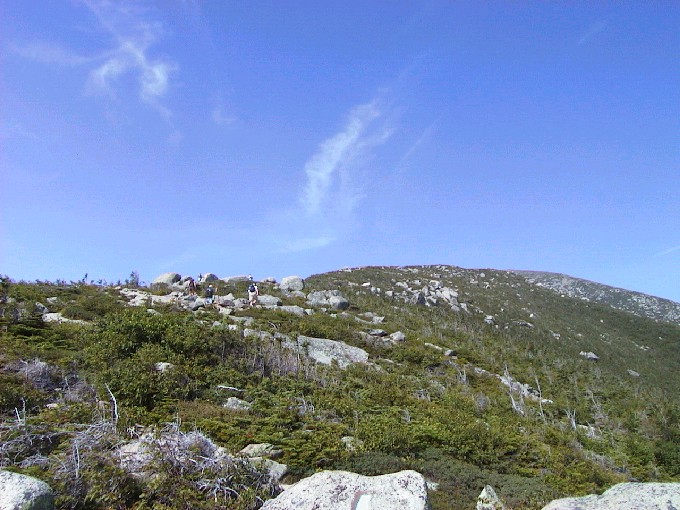
on the way up
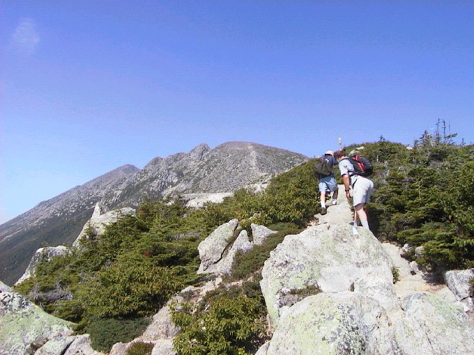
On final approach to Pamola
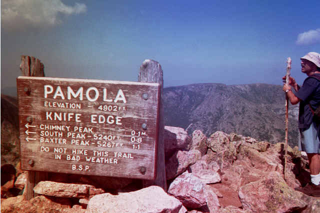
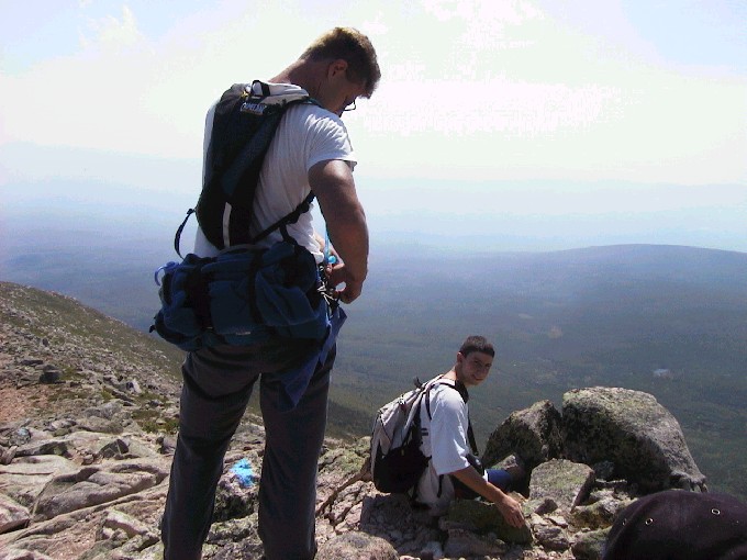
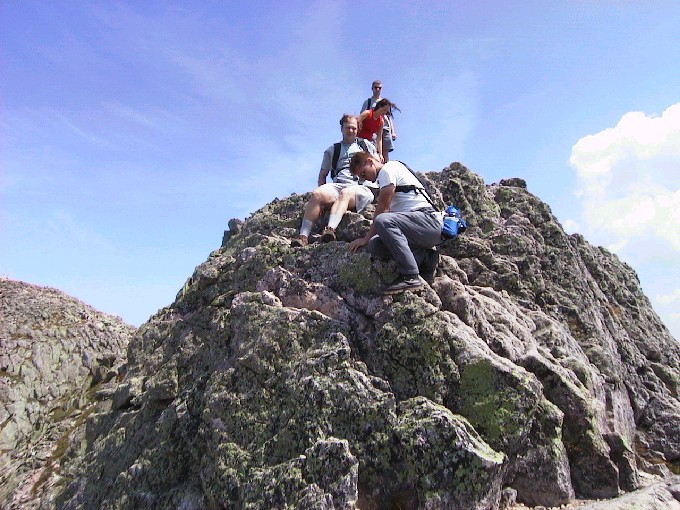
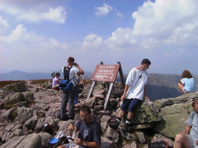
Top of Pamola Peak
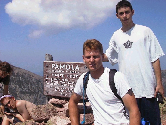
Top of Pamola Peak
view from top
larger picture in new window.
botom bar to return.
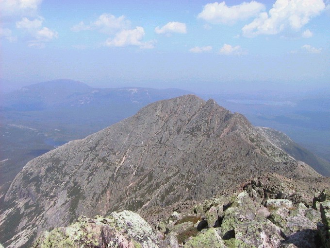
Pamola is at the south end of
the Knife Edge.
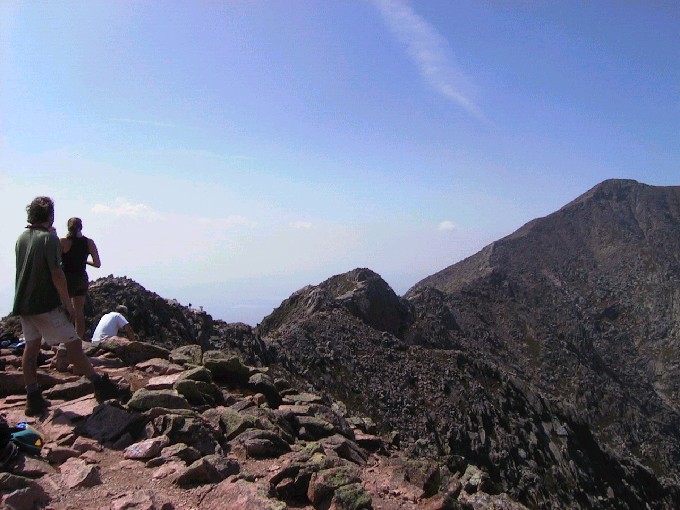
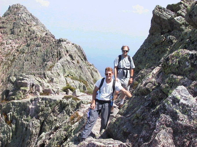
view of far end of Knife Edge.
along the Knife Edge to Baxter
Peak.
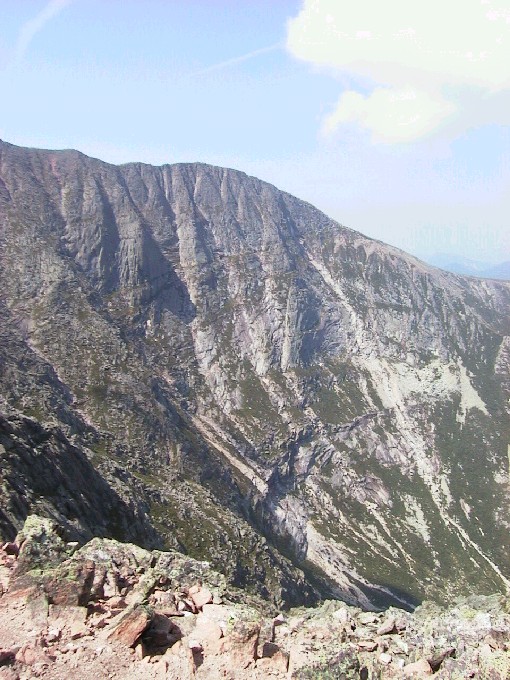
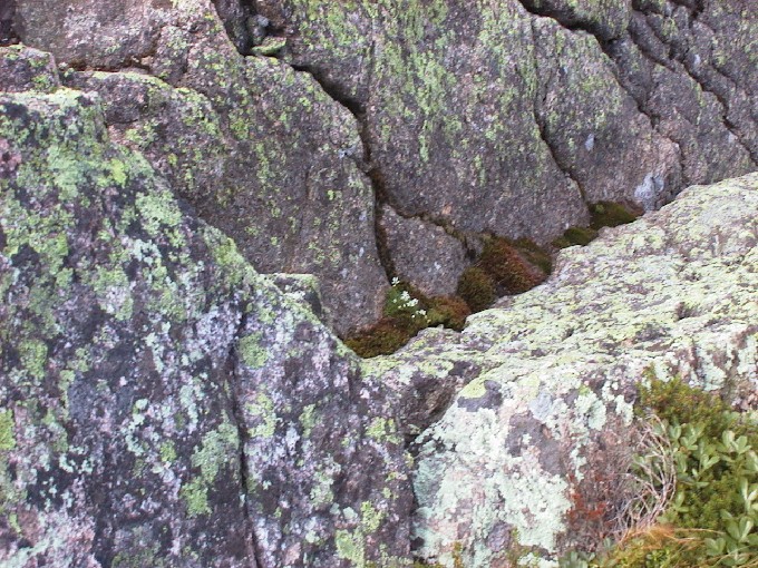
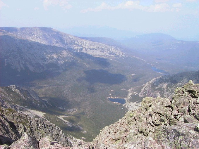
view down into cirque.
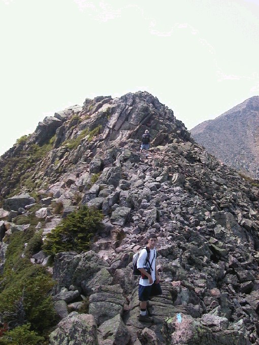
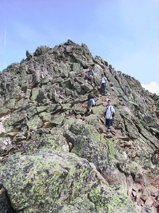
Knife Edge: Chimney Peak
Knife Edge
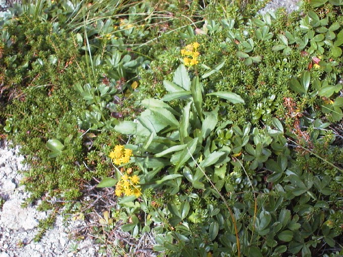
Knife Edge: Flowers
Knife Edge: more flowers
Knife Edge

Knife Edge
Knife Edge: coming down
another peak.
Knife Edge: view back toward
Pamola (southern end).
larger picture in new window..
botom bar to return.
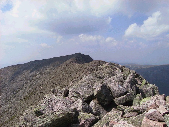
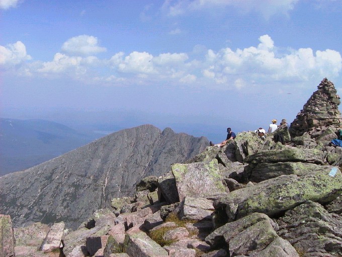
Knife Edge: view toward Baxter
Peak (northern end)
Knife Edge: view down
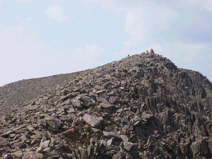
Knife Edge: Baxter Peak (highest
point on Katahdin).
Baxter Peak; view down.
Baxter Peak
view back to Pamola
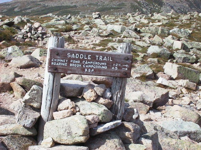
Start of trail down to Chimney
Pond from the Saddle.
Rest before steep descent
on slide.
down the saddle and then
down into the basin to Chimney
Pond (3.2 miles).
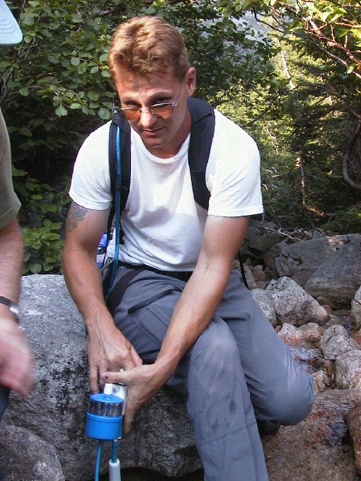
Filtering water from a
welcome stream.
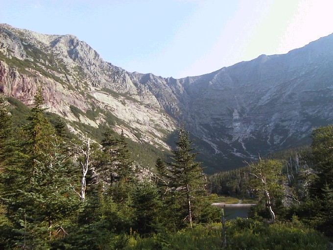
View of the knife edge and
glacial cirque from Chimney
Pond.
Chimney Pond back to the van
at Roaring Brook.
(Too tired to take pictures
of the rest of the hike out.)
Almost 11 miles total and over
3000 ft of elevation.